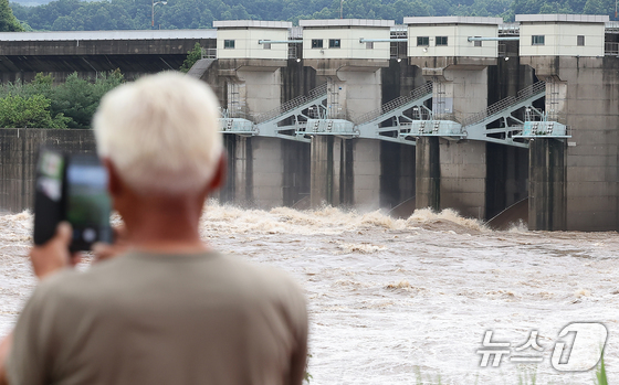
North Korea appears to have discharged water from the Hwanggang Dam—located on the upper reaches of the Imjin River, a shared watercourse between the North and the South—on October 12 without prior notification.
According to the Hangang Flood Control Center, as of 9:20 a.m. that day, the water level at Pilseung Bridge—the northernmost point of the Imjin River in Yeoncheon-gun, Gyeonggi Province—was recorded at 1.80 m (about 71 inches).
Considering that the water level at Pilsunggyo was 0.77 m (about 30 inches) at the same time the previous day, this represents an increase of over 1 m (about 39 inches) in flow within a single day.
The sudden rise in water flow is attributed to North Korea releasing water from the Hwanggang Dam, which is situated upstream of the Imjin River.
Approximately 60% of the Imjin River basin lies within North Korea, with the remainder managed by South Korea.
When the water level at Pilseung Bridge exceeds 1 m (about 39 inches), an evacuation of riverbank visitors is ordered; at 2 m (about 79 inches), evacuation of individuals during the non-flood season is initiated; 7.5 m (about 295 inches) signifies the alert stage for crisis response in the border area; and 12 m (about 472 inches) triggers a cautionary stage for crisis response in the border area.
The Imjin River basin is divided into four stages for flood management based on the water level at Pilseung Bridge.
Gyeonggi Province and Yeoncheon-gun have sent disaster text messages to riverbank visitors and residents along the Imjin River, advising them to evacuate.
A representative from the Ministry of Unification stated that there was no prior notice from the North regarding the Hwanggang Dam release.
Following an incident in September 2009, when North Korea discharged water from the Hwanggang Dam without notice—resulting in six residents of Yeoncheon-gun, Gyeonggi Province being reported missing or killed—the two sides agreed in October of the same year that prior notice would be provided in the event of a water release from the Hwanggang Dam.
However, North Korea has not been adhering to this agreement, as unauthorized discharges were also observed in June and July, when the water level at Pilseung Bridge rose.